Can constructed wetlands and a Bayshore Road bridge help keep Fisherman Bay healthy and biologically diverse—as well as protect shoreline homes and roads from stormier winter tides and flooding? Can ecologically and economically significant animals and plants that still live around Fisherman Bay be helped by building bioswales along Lopez Village streets, or rebuilding salt marsh habitats that were diked or filled a century ago? These questions and more are the subject of Kwiaht’s 2018 Day for the Bay on Saturday, May 12, an afternoon and evening of walks, talks and information-sharing by Kwiaht scientists and engineers devoted to the possible futures of San Juan County’s largest coastal inlet and estuary.
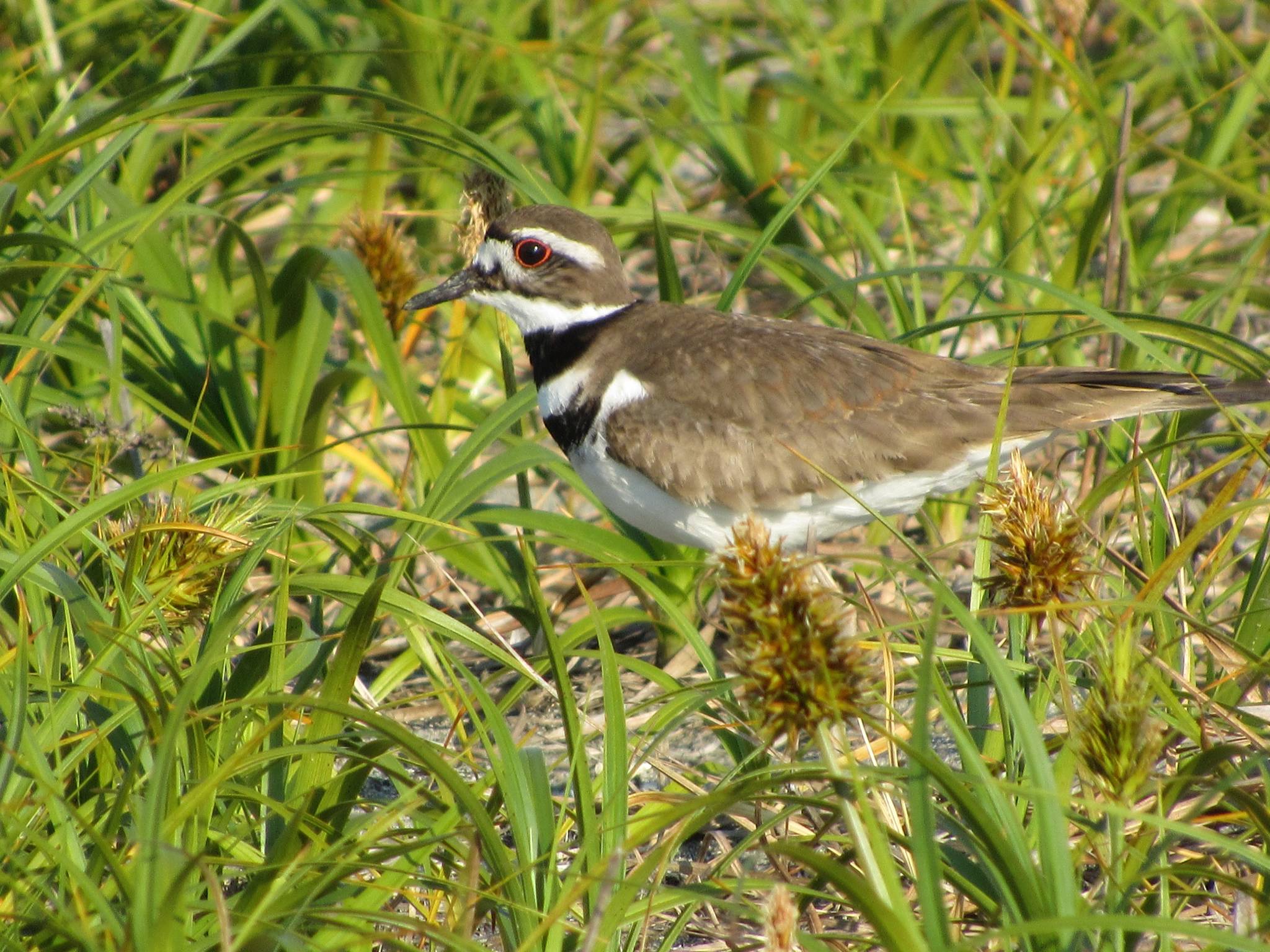
The day’s activities will include a wildflower and bird walk in Weeks Wetland; boat tours exploring shoreline historical change in shorelines; an on-site discussion of a possible breach and bridge on the Bayshore Road tombolo; a slideshow presentation at the library with a watershed-scale view of conservation opportunities; and the release of a new edition of the Ecological Atlas of Fisherman Bay. Special refreshments will be provided by Kwiaht and all activities are free. The complete program is posted on Lopez Rocks.
“Archaeological sites around Fisherman Bay attest to its extraordinary past abundance of fish, shellfish and waterfowl,” says Kwiaht Director Russel Barsh. “Important resources included clams, herring and salmon, supporting a year-round village as well as extensive processing camps on the beaches.” Early settlers diked large parts of the bay to create pastures, however, and 20th-century roads impound nearly two miles of remaining shoreline. Lopez Village has expanded and paved rapidly since the 1970s, and its storm sewers drain into the bay through Weeks Wetland, where dikes have eroded, allowing salt marsh plants to re-establish.
“On the whole,” Barsh says, “the bay has grown smaller, shallower, warmer, saltier, less-well oxygenated and less vegetated.” Now that winters are growing stormier with more frequent very high (over +10 feet) tides, the bay is also eating away at dikes and roads, and flooding fields and lawns. “We need to deal with rising tides,” Barsh notes, “as well as preventing the bay from becoming a shallow, muddy toxic sink.”
With funding from the National Fish and Wildlife Foundation, Kwiaht has been designing and building “living shorelines”—salt marsh expansions to protect homes and expand habitat for birds and rare wildflowers. A design for adding several acres to Weeks Wetland is underway that will connect with improvements in Lopez Village storm water treatment planned by the county. “Opportunities exist for several thousand more feet of living shorelines in the bay,” Barsh says.
In 2012, a regional study conducted by NOAA and the Army Corps of Engineers concluded that re-opening Fisherman Bay to improve tidal circulation should be studied. Kwiaht is seeking state funding to conduct such a study in 2019-2020. It would involve sediment studies, mapping and modeling of changes in tides and currents with breaches of different sizes and alignments.
Breaches of dikes to improve salt water circulation were recently carried out at Fir Island in Skagit County and at Courtenay on Vancouver Island, and one is planned at Smith Island in the estuary of the Snohomish River, all for the purpose of improving fish habitat. Locally, San Juan County built the new Deer Harbor bridge to accommodate a significant widening of the entrance to Cayou Lagoon, also with the goal of improving circulation and fish habitat.
“Will a breach and bridge make a positive difference in the health of the bay?” Barsh asks. “It’s time to find out.”
Check Lopez Rocks or mail info@kwiaht.org for additional information.