
To dig or not to dig. That’s the question plaguing Lopezians at Iceberg Point. Future projects, like trail maintenance, can’t be completed on the protected land without an inventory of buried artifacts, but dredging the land could destroy native wildflowers.
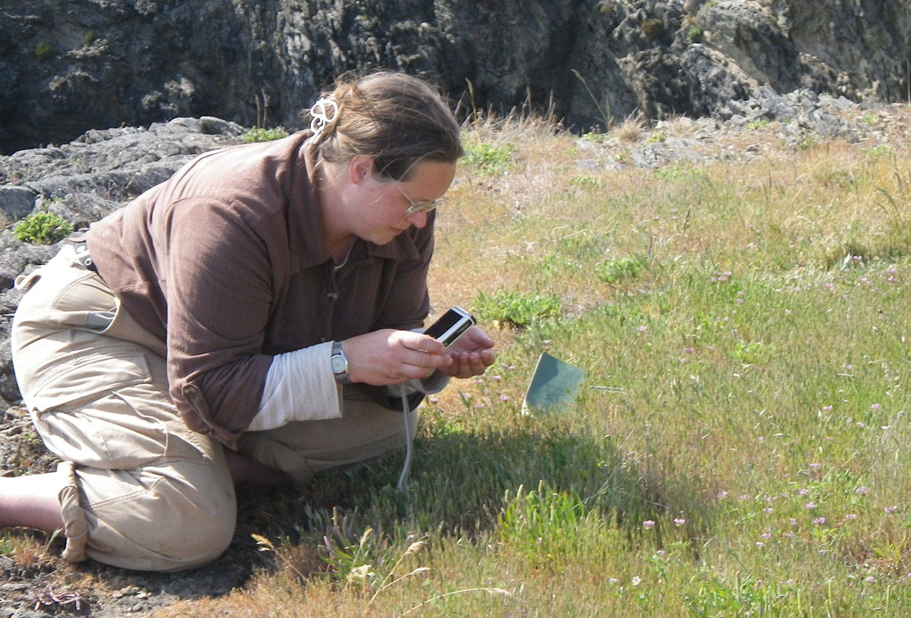
Last fall, a Central Washington University class was picked by Bureau of Land Management officials to dig up to 190 holes on Iceberg Point to locate remnants of local tribes. Items will remain in the ground and their locations will be mapped and avoided in future projects.
Iceberg Point is the roughly 100 acres, located on the southern tip of Lopez. An environmental review of the proposed BLM plan is currently being finalized. If it’s not accepted in about a month, a higher level review will be needed; if it is accepted, the project will start in July.
The digging, said Russel Barsh of Lopez Island, would harm wildflowers that have been deemed in need of conservation under federal and state governments.
“You don’t destroy a known, threatened resource to see if another one is there,” said Barsh, director of a conservation nonprofit called Kwiaht.
Iceberg Point has been flagged as an area of “environmental concern” under a Bureau of Land Management plan since 1990. Since 2013, it has also been part of the San Juan Islands National Monument, which protects the 1,000 acres in a similar way as national parks.
BLM officials, who manage Iceberg Point, have wanted to locate items that they call “cultural resources,” since it acquired the land. Federal laws state the BLM inventory must be completed before the implementation of future projects, like trail maintenance or plant restoration.
Iceberg Point was once a garden for native tribes, including the Samish. Leslie Eastwood, a spokesperson with the Samish Indian Nation, said they approve the BLM project so the area’s indigenous plants can be restored.
Invasive species, like dead camas, are driving out the edible camas, which was originally grown in the location. The starchy bulbs of this blue lily provided a healthier, pre-colonization diet for the Samish, said Eastwood. Today, about 50 percent of the tribe has diabetes, she added.
“We can bring the area back to pristine condition, to what that point really was before contact,” said Eastwood. “Small harvests could be done and ceremonies performed.”
Barsh argues plants like these are, themselves, tribal artifacts that shouldn’t be destroyed to search for possible additional items. To him, items underneath the meadows are already protected by the National Monument designation, so the inventory of possible items is unnecessary.
According to BLM documents, archeology professor Patrick McCutcheon will lead the dig with about 25 students for about 15 days. Tents and equipment that comprise the field school would take up about 100 acres, but the digging site would encompass about 20 square meters or .005 percent of that area. This would be “substantially unnoticeable,” according to the draft environmental review for the project.
Yet, a crew of that size would mostly likely spread noxious weeds throughout the meadows, said Barsh, causing further decline of native wildflowers.
Iceberg Point wildflowers like white-topped aster and California buttercup are listed as declining species under the federal government and townsend’s vole is a one for the state, explained the public comment document Kwaiht officials submitted to the BLM. Iceberg Point is the only location some species, like showy Jacob’s ladder, can only be found in the county. Barsh and his team have been researching Iceberg Point for over a decade, he said.
“Besides losing the beauty of these flowers forever, islanders could be giving up the resilience of our rain shadow ecosystem, which is unique to the islands,” said Barsh.
There is less rainfall on the islands than surrounding areas, which creates a unique array of native plants.
Public comment for the environmental review draft has ended, but it will open, again, if another review is performed. To read the draft environmental review and view project details, visit eplanning.blm.gov and search for the Iceberg Point Fieldschool project on the map.
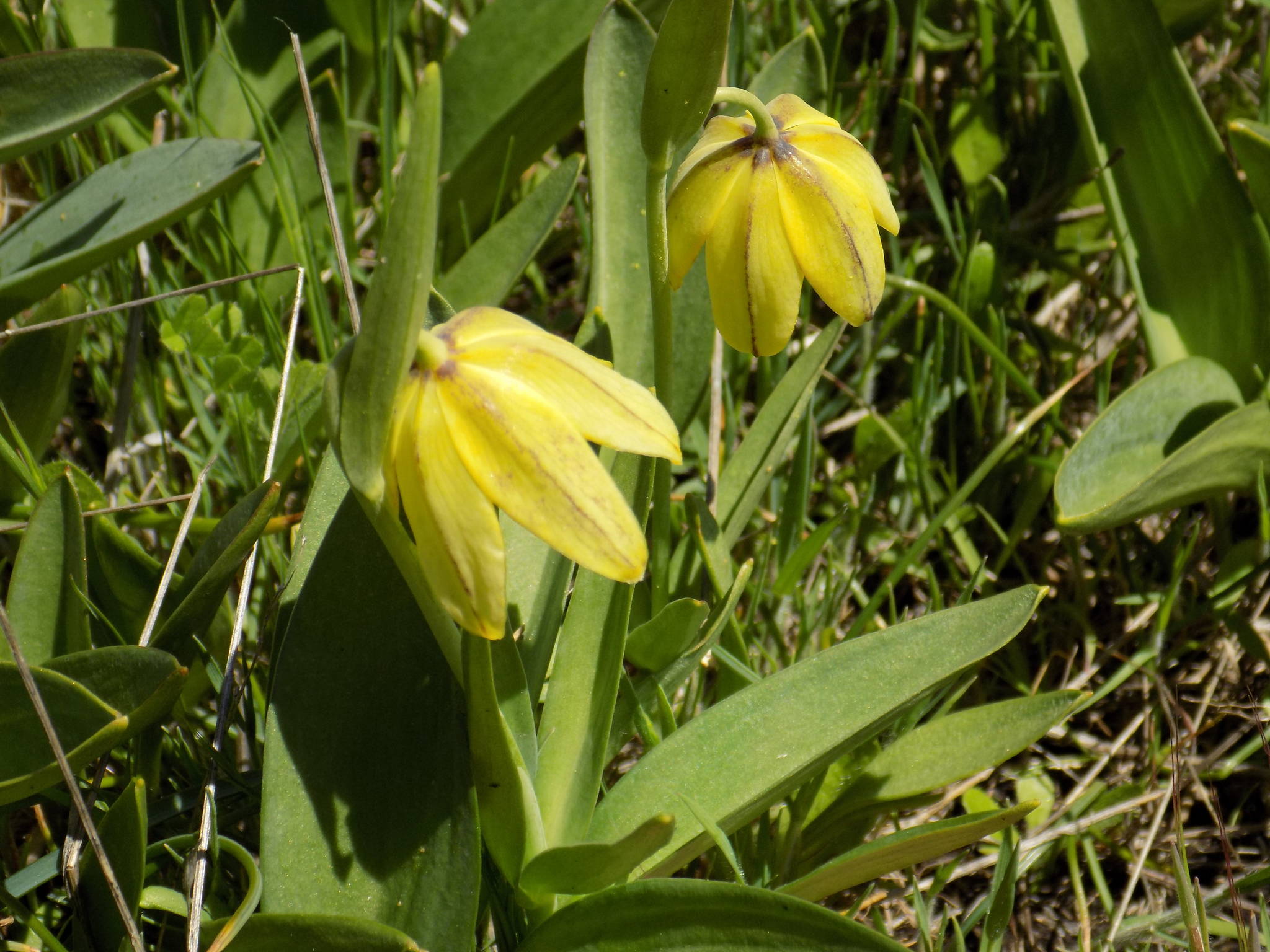
Contributed photo/Russel Barsh According to the Lopez nonprofit Kwiaht, Chocolate lilies, like the one photographed above, are eaten byNatives and have a pleasantly bitter taste when cooked. This rare yellow type is found at Iceberg Point.
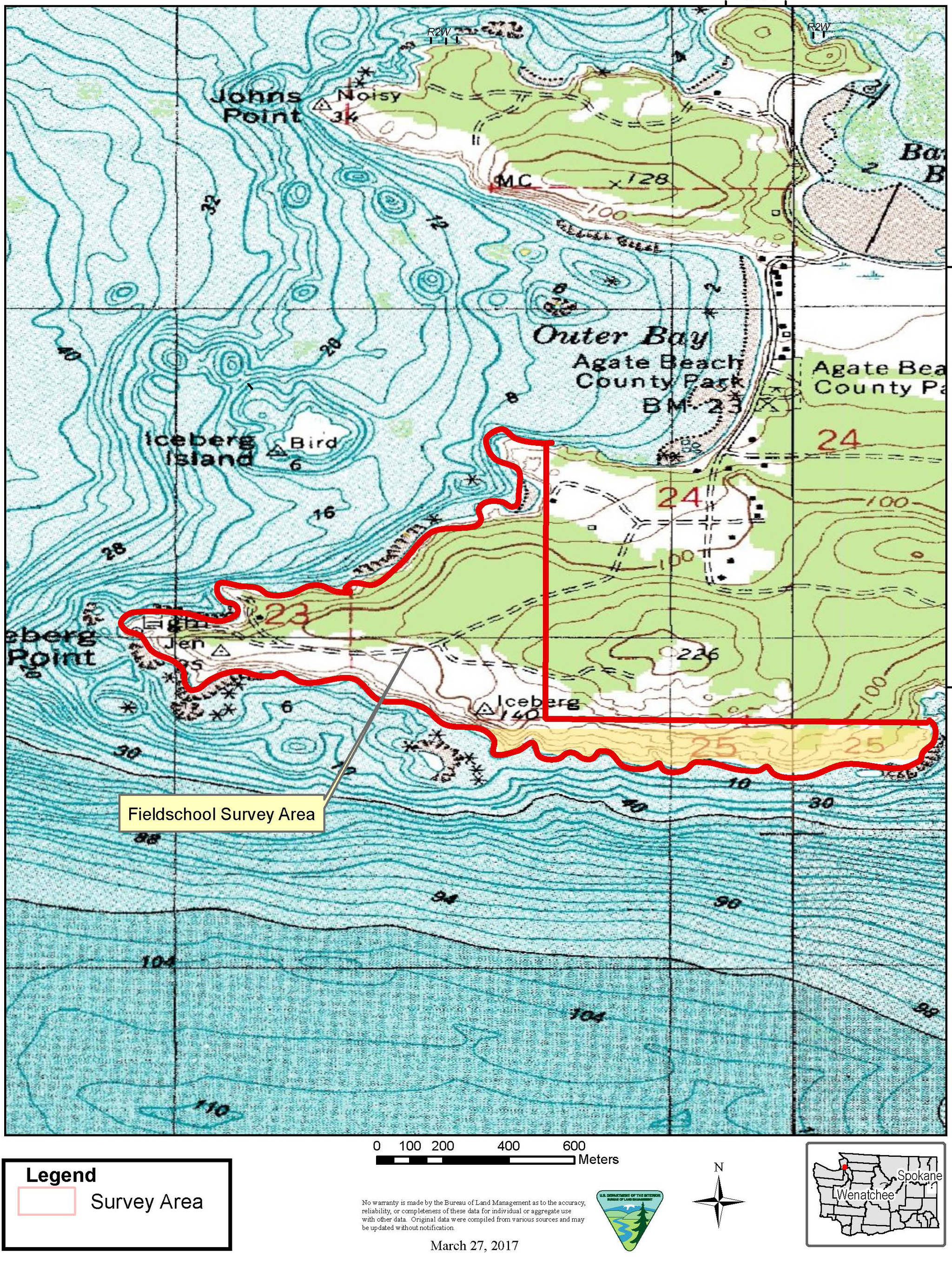
Contributed image/Bureau of Land Management The area of the proposed field school is outlined on the map, above.
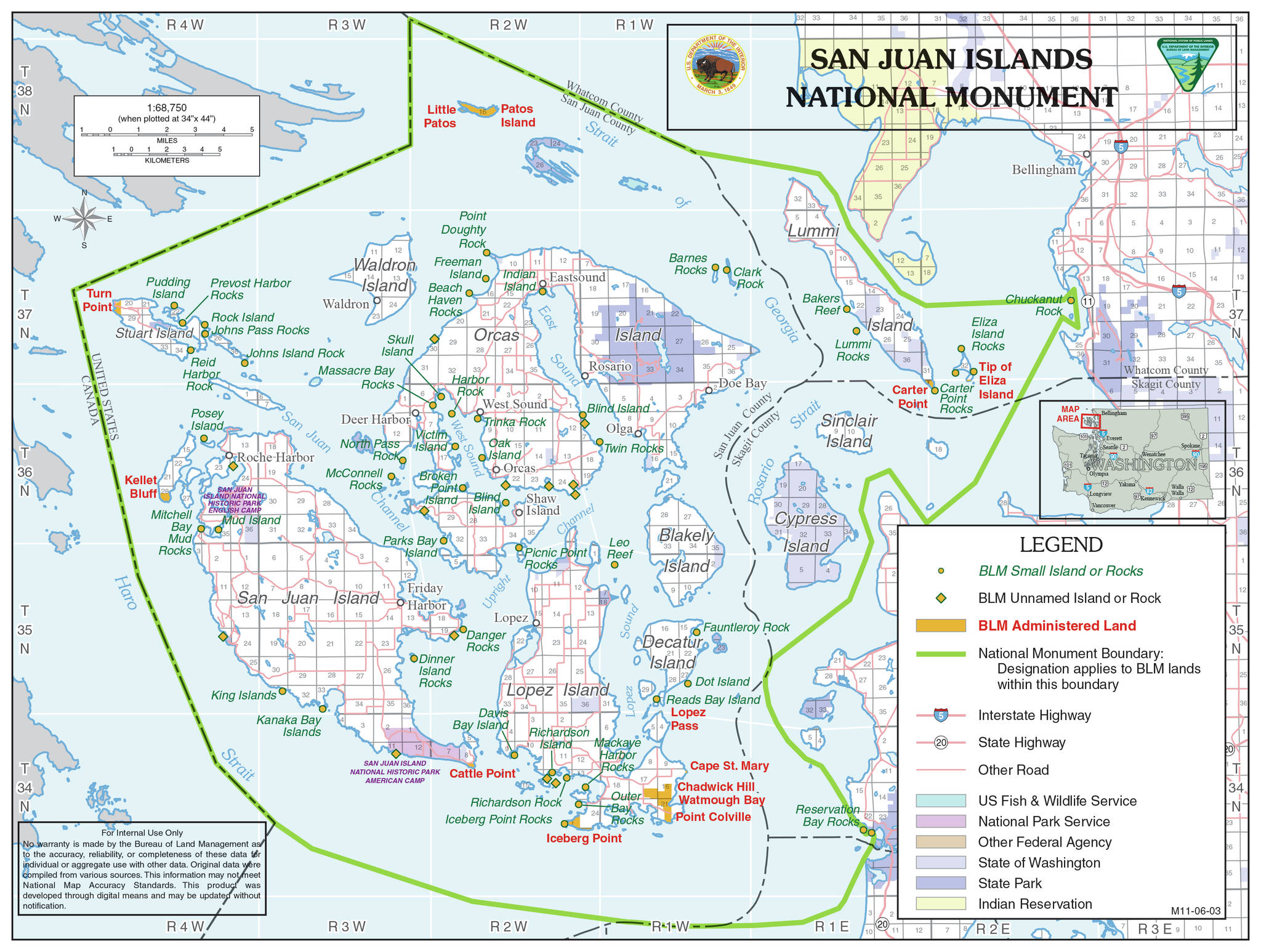
Contributed image/Bureau of Land Management The area of the San Juan Island National Monument is outlined in the map, above. Iceberg Point is part of themonument.
